
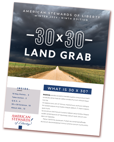
Land Grab

Federal Muleshoe Land Grab Defeated
Rep. Jodey Arrington and President Trump’s DOI defeated the federal Muleshoe land grab—a key victory against Biden’s 30×30 agenda, and one American Stewards of Liberty proudly celebrates.

President Trump Ends the Muleshoe 30×30 Plan
American Stewards of Liberty is pleased to deliver an update on an issue we’ve been battling for the past 12 months. Today, the Trump Administration canceled the Land Protection Plan for the Muleshoe National Wildlife Refuge, which was set to federalize 700,000 acres of land in West Texas and parts of New Mexico.
The Muleshoe Land Grab was a stealth attempt to create the first federal government stronghold in Texas. For the past year, Texans and brave patriots from all across this nation resisted tyrannical efforts to rob us of our private property.
Today, we prevailed.
American Stewards of Liberty is thankful for Rep. Arrington and President Trump’s DOI for defeating this plan and rolling back a key component of Biden’s 30×30 agenda.
The 30×30 Muleshoe National Wildlife Refuge Expansion Must be Stopped.
The Biden Administration’s plan to expand the 6,440 acre Muleshoe National Wildlife Refuge by acquiring 700,000 private land acres in Texas and New Mexico must be rolled back by the Trump Administration.
The plan was created by the U.S. Fish and Wildlife Service without the knowledge or consent of the local communities, and without Congressional authorization.
It is a part of the 30×30 agenda to permanently protect 30 percent of America’s land and oceans by 2030, and it will destroy the economies of these agriculture based communities.

Removing nearly three-quarter million acres is a direct attack on the oil, gas, and mineral industries, agriculture production, and local economies.
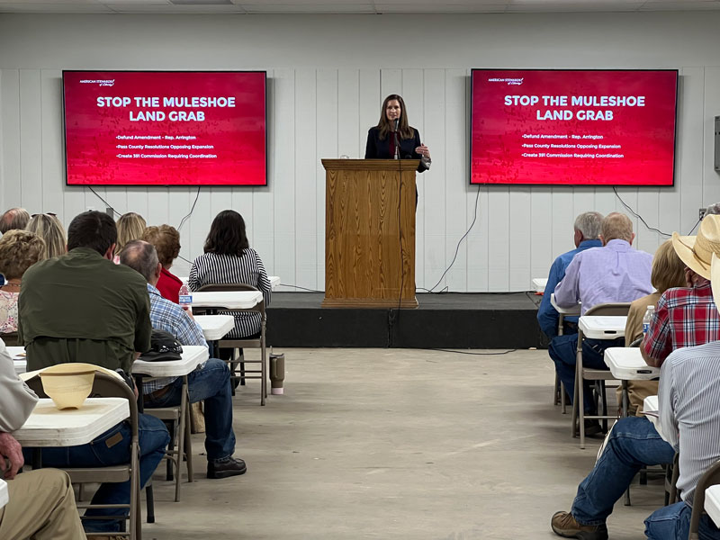
How do we Stop the Land Grab?

Representative Jodey Arrington (R-TX)
has filed H.B. 839 to rescind the expansion plan. This must be passed in the House and the Senate.
TAKE ACTION – Contact your U.S. Representative and ask them to co-sponsor H.B. 839 To prohibit the implementation of a Land Protection Plan for Muleshoe National Wildlife Refuge.


The Secretary of the Department of Interior, Doug Burgum
can issue a Secretarial Order that rescinds the Muleshoe plan as well as the Land Protection Plan policy. This would stop the Muleshoe expansion and all other unauthorized Land Protection Plans created to advance the 30×30 agenda.


What is the plan?
On April 16, 2024, the Biden Administration released a plan to expand the Muleshoe National Wildlife Refuge, located outside Muleshoe, Texas. They created a Land Protection Plan (LLP) that creates an “authorized acquisition area” covering seven million acres – without Congressional or local consent. From this 20 county area, they plan to acquire an additional 700,000 private land acres, to be federally owned or controlled. This would be a 1000% increase in the size of the existing 6,440 acre Muleshoe Refuge.
Who will be impacted?
The plan area is located in Lamb, Bailey, Parmer, Castro, Crosby, Yoakum, Lubbock, Hockley, Cochran, Hale, Gaines, Dawson, Garza, Lynn, and Terry Counties in Texas; and Lea, Chaves, Roosevelt, De Baca, and Curry Counties in New Mexico.
Who is behind the plan?
The Muleshoe project was finalized June 15, 2023, but was not made available to the public or elected officials until April 16, 2024. Even though the Service has been working on this plan with The Natural Conservancy, Texas Parks and Wildlife and New Mexico Game and Fish, they failed to involve or directly notice the counties and other local governments that will be impacted.
There has been no Congressional oversight. There was no public vote. The federal government is doing this by administrative fiat.
The Biden Administration has targeted this region for permanent protection as a part of their unauthorized 30×30 land grab (a.k.a. “America the Beautiful”). They listed the Lessor prairie chicken and Dune sagebrush lizard as endangered to restrict land uses, and now are attempting to physically acquire this resource-rich land.
Subscribe to our bi-weekly online analysis about the issues affecting your property rights.
Receive our quarterly journal that provides our insights into current and emerging property rights issues.
Free with membership.
Get our action alerts so your voice will make an impact. (If you are a Member or Subscriber you are already signed up)
Issue Guides
Find the ASL issue guides here to help you with the background, talking points, and all the tools to educate your community. And it's free!
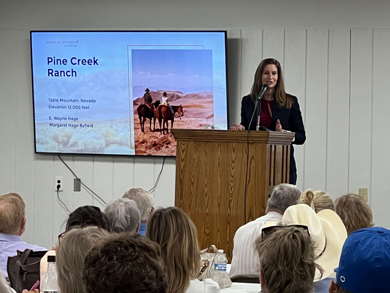
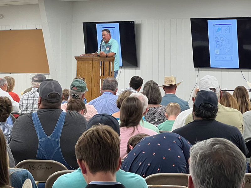
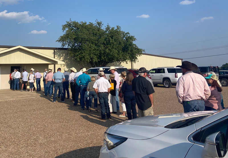
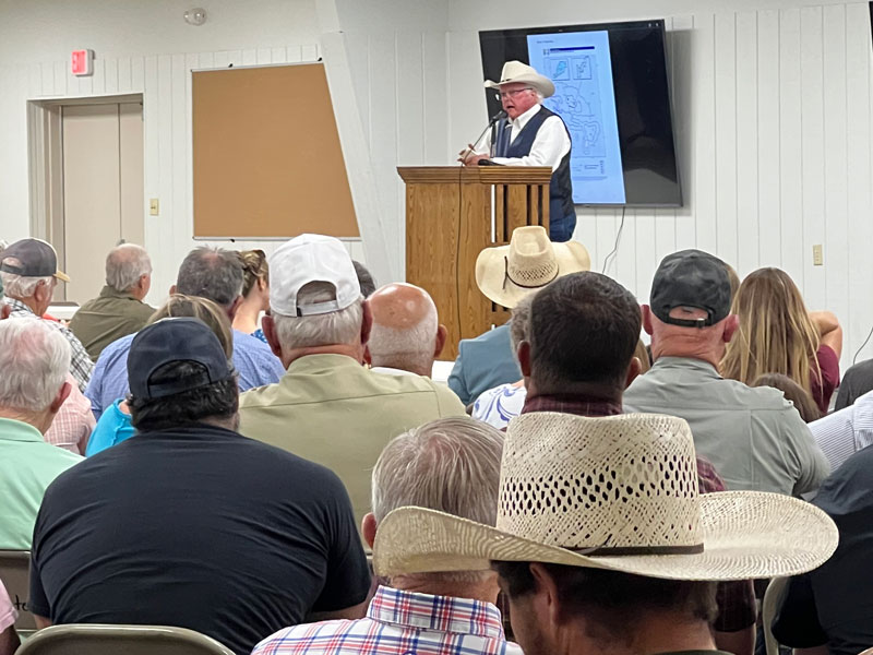
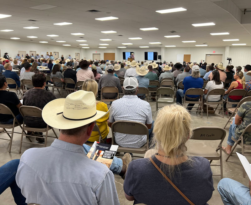
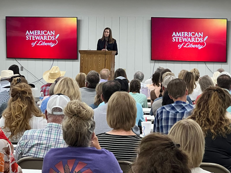
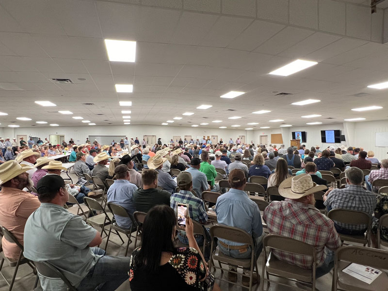
Muleshoe Land Grab event – July 2024
American Stewards of Liberty with Ag Commissioner Sid Miller


Get Educated
American Stewards of Liberty is actively organizing the counties, local governments, landowners and elected leaders to stop the Muleshoe NWR land grab.
Use these free resources…
Impacted Counties
Click here for the model resolution you can take to your County Commissioners and ask them to oppose the Federal Land Grab.
30×30 Guide
This is a quick summary of the key facts.
Dangers of Conservation Easements
13 key points you need to be aware of.

Muleshoe in the News
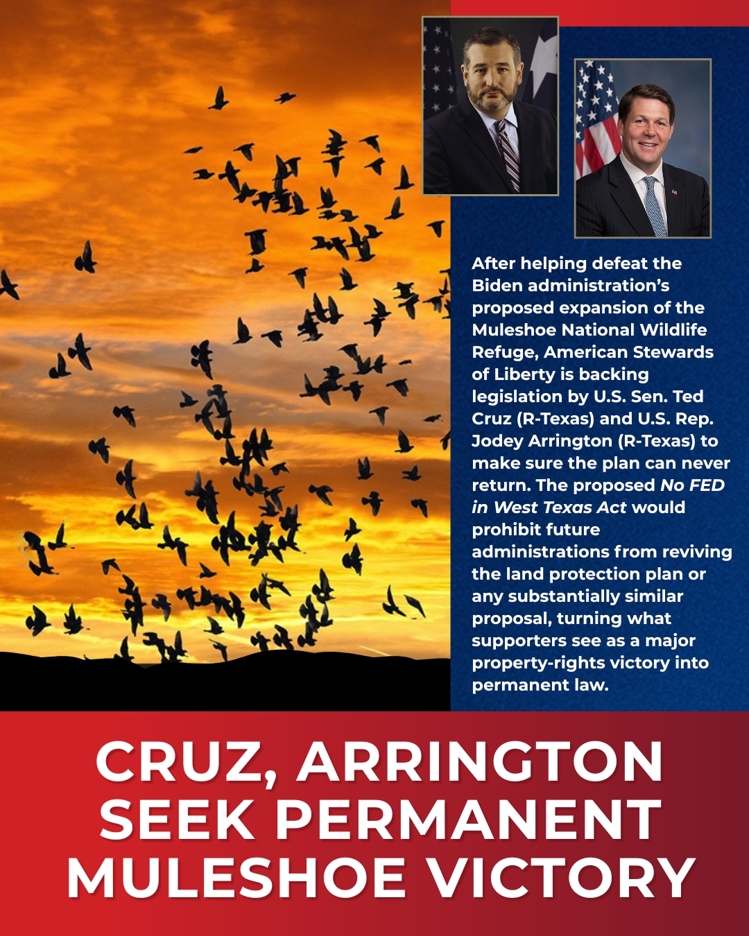
Cruz, Arrington Move to Codify Defeat of Muleshoe Land Grab
After helping defeat the Biden administration’s proposed expansion of the Muleshoe National Wildlife Refuge, American Stewards of Liberty is backing legislation by U.S. Sen. Ted...
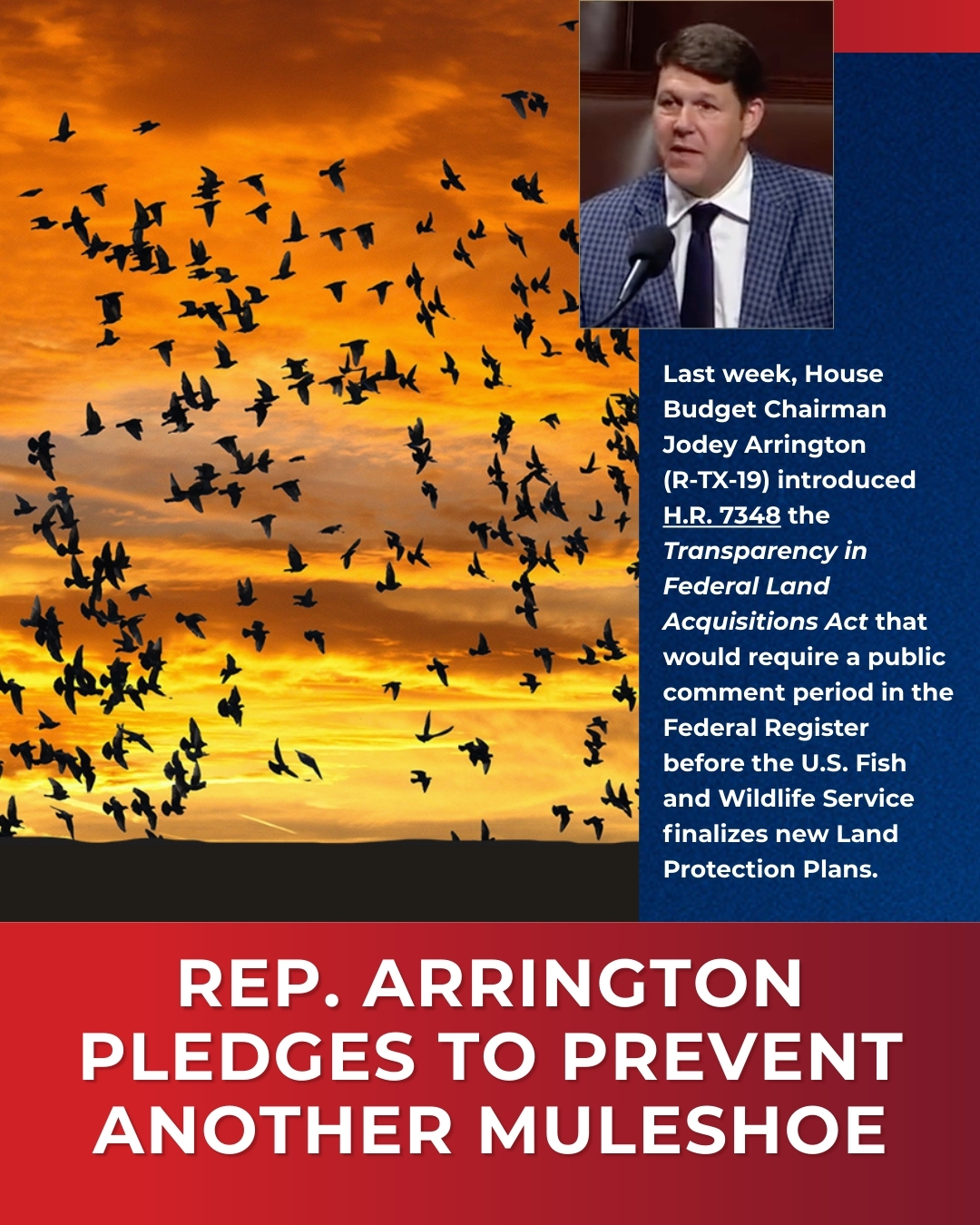
Rep. Arrington Makes Sure Another Muleshoe Never Happens Again
Last week, House Budget Chairman Jodey Arrington (R-TX-19) introduced H.R. 7348, the Transparency in Federal Land Acquisitions Act that would require a public comment period in...
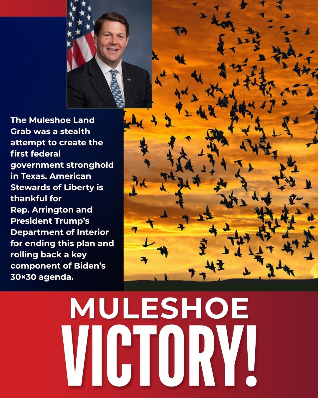
Muleshoe Victory
As reported last week, Representative Jodey Arrington announced that Department of the Interior Secretary Burgham rescinded the Land Protection Plan for the Muleshoe National...
Key Points
A Land Grab
Muleshoe National Wildlife Refuge is attempting to expand the acquisition boundary from 6,440 acres to 7,000,000 in TX and NM without Congressional authorization.
Federalizing 700,000 Acres
From within this area, they are planning to add 700,000 acres to the Refuge by directly buying private property or acquiring permanent conservation easements.
Direct Attack on O&G
Federally acquiring nearly three-quarter million acres from this region is a direct attack on the oil, gas and mineral industries, agriculture production, and local economies.
30×30 Target
The Biden Administration has targeted this region for permanent protection as a part of their unauthorized 30×30 land grab (a.k.a “America the Beautiful”). They listed the Lessor prairie chicken and Dune sagebrush lizard as endangered to restrict land uses, and now are attempting to physically acquire this resource-rich land.
Future National Monument
The President can withdraw any federal lands to create a National Monument with the stroke of the pen. If they acquire an additional 700,000 acres in this region, it will be ripe for Monument designation.
Ignored Economic Impact
The USFWS failed to consider the economic impact to the local communities and the states once 700,000 acres of private land are removed from the tax rolls, and taken out of production.
Failed to Notice Counties
No direct notice was given to the counties or other local governing authorities. The USFWS failed to coordinate this plan with the local governments as required by law.
Bypassing NEPA
Even though this is a major federal action that will significantly impact the human environment, the USFWS advanced an insufficient Environmental Assessment with plans to issue a “Finding of No Significant Impact” in violation of NEPA.
Circumvents Congress
The National Wildlife System recently finalized a series of new internal policies that allow for the creation of “Land Protection Plans” to expand authorized acquisition areas. Historically, it has been Congress that has defined these boundaries. The new policy circumvents Congressional authority.
Subscribe to our bi-weekly online analysis about the issues affecting your property rights.
Receive our quarterly journal that provides our insights into current and emerging property rights issues.
Free with membership.
Get our action alerts so your voice will make an impact. (If you are a Member or Subscriber you are already signed up)
Issue Guides
Find the ASL issue guides here to help you with the background, talking points, and all the tools to educate your community. And it's free!
Make Your Impact Here
$25
$50
$100
$250
$500
Other