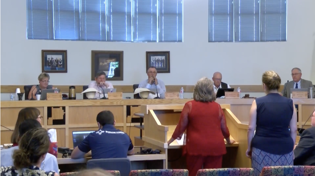
In August, the U.S. Forest Service released a Draft Environmental Impact Statement for the revision of the Lincoln National Forest Plan without coordinating the plan or the environmental analysis with Chaves County. The County noticed the Forest Service on December 15, 2021, that they would need to prepare a supplemental analysis that incorporates the County’s position as well as that of the U.S. Army White Sands Missile Range, and the other counties and local governments impacted by the decision.
The Forest Service plan recommends Congress designate several Wilderness Areas and create new Lands with Wilderness Characteristics. These designations are for the purpose of permanently protecting lands in their natural state, which prevents mechanical equipment or vehicles to be used in the area. Also, no activities are to interfere in the natural process, such as controlling wildfires.
To qualify for this designation, the land must meet the definition of “Wilderness” set forth in the Wilderness Act (16 U.S.C. §1131). They are to show no evidence of man’s presence. However, the areas being proposed have transmission lines, buried fiber optic lines, roads, a paved highway, buried and above ground pipelines, storage tanks, dirt tanks, and other “man-made” developments throughout the region.
The Biden Administration has assured the public that their conservation policies will be locally driven, yet they continue to ignore the local governments who represent the people working and caring for these lands. Chaves County has offered to host a meeting with the Forest Service and other local governments in the region to begin working through the planning conflicts, providing the Forest Service with the opportunity to fulfill the Administration’s promises.


